Wednesday, 28 January, 2026
Researchers: AI2Peat team, CeADAR, UCD School of Computer Science, UCD School of Earth Sciences and iCRAG
Summary
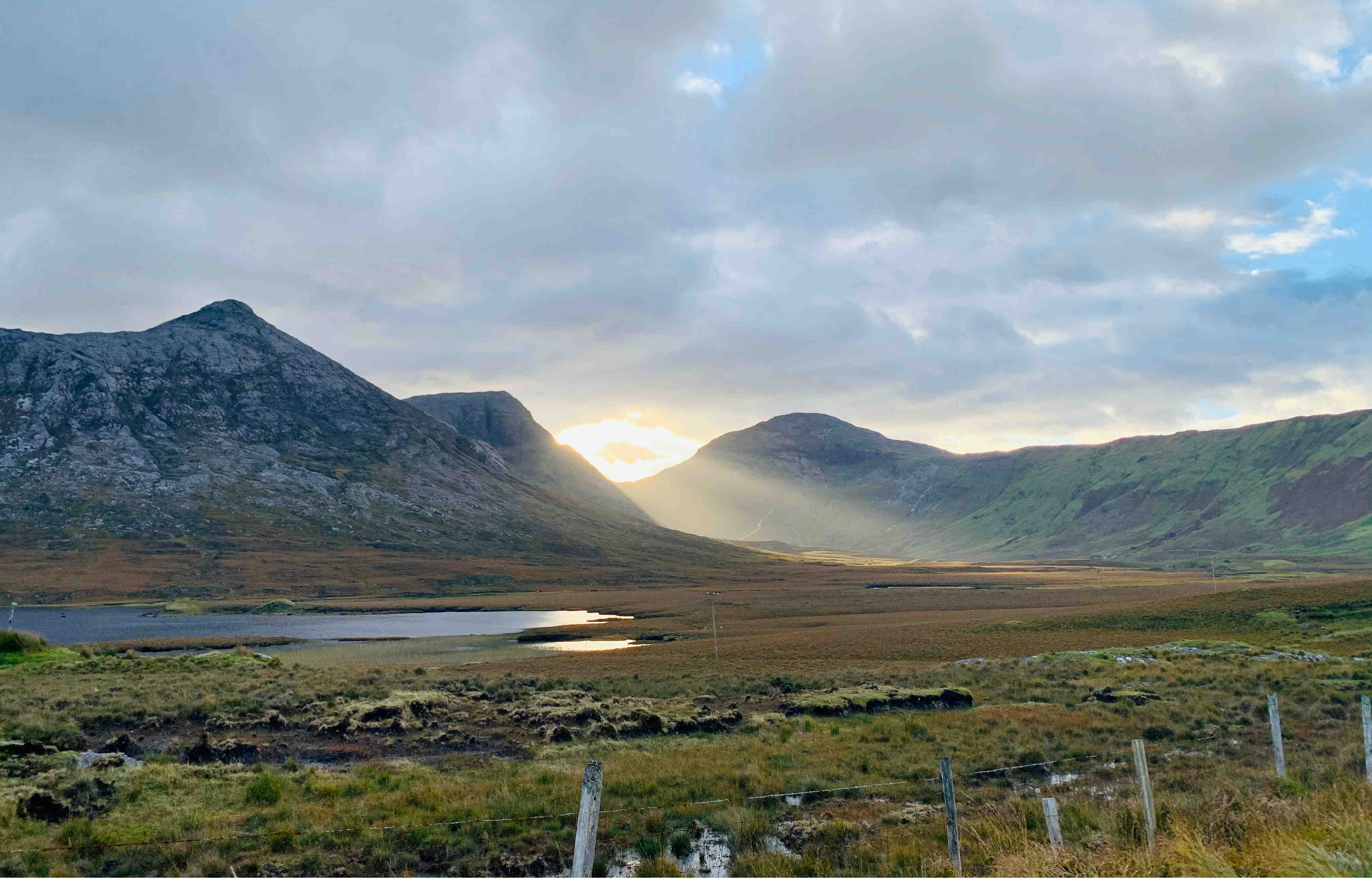
Peatlands are among Ireland’s most important ecosystems, providing biodiversity, clean drinking water, cultural value, and the country’s largest natural carbon stores. Yet assessing peatland condition at national scale has long been a challenge: approximately 23% of Ireland is covered by peat, making traditional field-based monitoring costly, slow, and difficult to scale.
The (opens in a new window)AI2Peat project uses earth observation, artificial intelligence, and expert ecological knowledge to map and monitor peatlands across Ireland. AI2Peat has produced the first national raised-bog ecological map, supports detection of degradation and restoration needs, and powers (opens in a new window)PeatSense, an open, public-facing platform designed to increase access to peatland knowledge.
The project delivers major environmental, economic, social, and policy impacts, supporting national climate commitments, informing restoration planning, improving greenhouse gas (GHG) accounting, and empowering communities.
Research description
Ireland’s peatlands play a pivotal role in biodiversity, water regulation, and carbon cycles, yet have historically been difficult to monitor efficiently. AI2Peat addresses this challenge by using machine learning to combine:
- Satellite imagery
- Artificial neural networks
- Ecological maps created by experts and real-world field data
- Domain knowledge from ecologists and peatland specialists
The project’s flagship achievement is the creation of the first national raised-bog ecological map, covering approximately 11,000 raised bogs. Ecological communities are strong proxies for hydrology (how water moves through the bog), carbon flux (how much carbon the bog releases or stores) and peatland condition; AI2Peat’s models achieve 84% average accuracy in predicting bog condition (active vs degraded).
Beyond raised bogs, the team is advancing tools for:
- Bare peat detection (critical for detecting emissions and erosion as well as ascertaining water quality).
- Monitoring land-use change, including potential illegal turf cutting and fire impacts.
- Studying the shape and structure of blanket bogs to help plan restoration actions.
- Estimating specific yield (how well peat retains water).
All outputs feed into (opens in a new window)PeatSense, an accessible platform built for non-experts to support learning, transparency, and community engagement.
Research impact
Environmental and economic impact
AI2Peat enables dynamic, national-scale monitoring essential for Ireland’s obligations under the EU Habitats Directive (Article 17) and the EU Nature Restoration Law. With 900,000 hectares of blanket bogs and thousands of raised bogs, meeting reporting and restoration targets would be impossible without scalable technological support.
AI2Peat provides:
- Efficient identification of good vs. degraded peatland areas
- National land-cover and land-change insights
- Ecological mapping to prioritise restoration
- Better targeting of public funding and private investment
The project also supports the continued improvement of national greenhouse gas accounting. To date, the EPA's land-use reporting has applied peatland emission factors at broad categorical levels. AI2Peat will enable the first national map providing ecology-specific peatland information, creating new opportunities for more granular GHG estimation. This could help reduce future monitoring, reporting and verification costs and support the rollout of ecosystem service certification and private financing under Ireland’s forthcoming Peatland Standard.
Crucially, successful peatland restoration could help Ireland avoid up to €26 billion in EU compliance fines, supporting long-term socio-environmental stability.
Social impact
Peatlands underpin Ireland’s water security: approximately 68% of national drinking water comes from upland blanket bog catchments. When peatlands are degraded, they release more Dissolved Organic Carbon (DOC) which are tiny carbon-based particles from decomposing peat that dissolve into water. High DOC makes water darker and harder to treat, often requiring expensive filtration and additional chemicals which can pose health concerns.
AI2Peat’s bare-peat mapping and peatland-shape models could help Uisce Éireann and the EPA identify priority areas where restoration can reduce DOC levels, improve water quality, and lower treatment costs.
PeatSense can also enhance community and landowner engagement by providing:
- Public access to maps, data, and explanations
- A glossary and educational materials
- Links between landowners, civil society, agencies, and researchers
This inclusive approach supports evidence-based decision-making, local participation, and broader public awareness of peatland value.
Engagement and impact at a glance
AI2Peat’s work is recognised across policy, science, media, and civil society: