Explore UCD

UCD Home >

MSc Risk, Resilience & Sustainability

MSc Risk, Resilience and Sustainability

Risk, Resilience and Sustainability are three keywords of our time, with the UN Sustainable Development Goals (SDGs) now widely taken up as a road map for future development around the world.  A deeper understanding of risk, the ways in which it is generated, experienced and managed is fundamental to achieving these goals. Reducing 'exposure' and lessening 'vulnerability' through Disaster Risk Reduction frameworks and ‘critical infrastructure’ underpin initiatives to prepare, and manage for, global challenges such as climate change, natural disasters, ecological uncertainty, and extreme social inequity.

Covering both theoretical ideas and practical approaches and tools, this programme will explore how our of understanding of risk, building resilience and targeting sustainabilitywork together towards the safeguarding of society, ecosystems, the economy, construction, transportation and political systems.

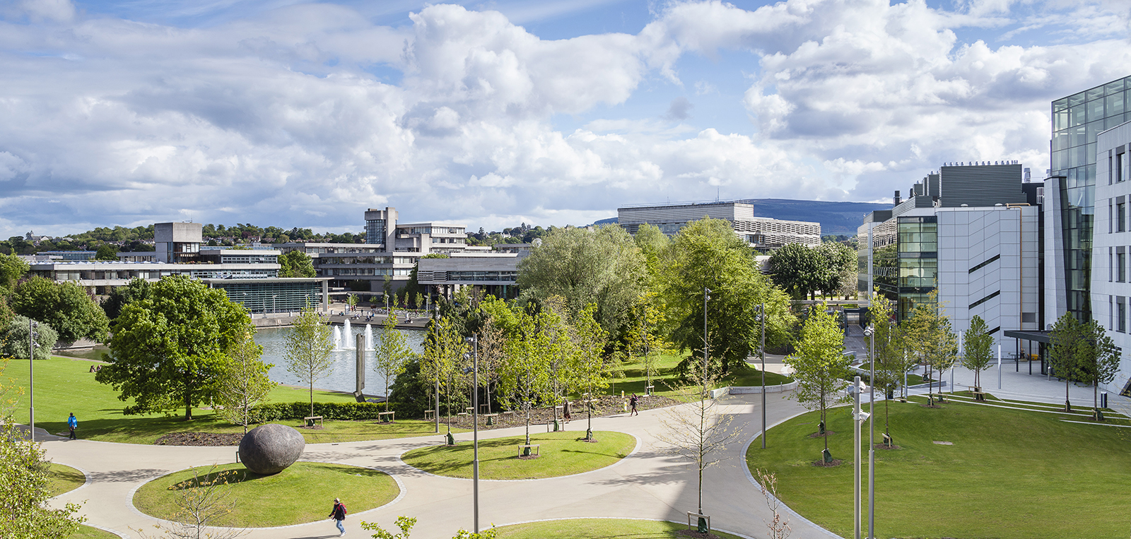
Lake

Any queries?

Our team and programme directors are always happy to hear from prospective applicants. Click the link below and fill out our contact form, and our team will be able to share more about the programme and any of our upcoming events. 

Indicative Course Content

Geographic Information Systems (GIS) allow the acquisition, storage, analysis and visualisation of location-based data. This core module will introduce you to ArcGIS, the most widely used GIS software package. It will enable you to understand conceptual, theoretical and practical geographical considerations and, most importantly, gain practical GIS skills for their use and application. These skills will cover spatial data creation, sourcing, management, mapping and geoprocessing.

The module is delivered mainly through hands-on computer lab-based practicals, complemented with lectures covering theory and analytical themes that GIS are designed to handle. The practicals will focus on analysing, visualising and interpreting spatial data to support environmental and socio-economic assessments, using demonstrative examples and problem-solving exercises. A significant part of the learning will be self-directed, allowing you to develop your skills and spatial awareness by designing and delivering a spatial analysis project tailored to individual research and/or interests.
This module introduces students to the most important natural hazards, including their underlying natural processes, risk assessment and mitigation. Landslides, Tsunamis, Earthquakes, Volcanoes, Climate Change, Floods and Droughts are among the hazards considered.

This course will introduce the principles of natural hazards and associated risk assessment, extending from the theoretical to the practical and incorporating scientific, societal and economic issues. It will outline the current understanding and management of geophysical risks, including earthquakes, volcanoes and tsunamis, and hydrological and climatological risks exacerbated by ongoing climate change, including landslides, flooding, droughts and sea level change.

Environmental assessment is a mandatory requirement under European and international legislation. It aims to ensure that environmental considerations are integrated into planning and decision-making. It applies to spatial planning (e.g. land use, renewable or waste management plans) and to projects (e.g. power stations, incinerators, housing developments and wind farms). This research-led module will introduce you to environmental assessment legislation, processes and practice through lectures, workshops, set readings and research activities. 

This module builds upon the skills gained in the 'Introduction to ArcGIS' module and will further develop your theoretical and practical knowledge of GIS while enhancing your spatial thinking capabilities. The module further explores geoprocessing methods and tools, cartographic enhancement and online data visualisation and sharing. It will apply the suite of ArcGIS Desktop packages and contemporary ArcGIS interfaces such as ArcGIS Pro and ArcGIS Online.

It will cover advanced principles of data acquisition, management and analysis when working with GIS, including advanced editing, geoprocessing and thematic mapping techniques, and 3D visualisation. The module will also cover automating ArcGIS workflows, using the application ModelBuilder and creating online WebApps and Story Maps. You will be introduced to ongoing technological advancements and capacitate them for lifelong self-directed learning in GIS.

Remote Sensing is a core focus of modern GIS applications in research and professional / business contexts. This course aims to provide adequate knowledge of the concepts, principles and utility of Remote Sensing technology and to prepare you to apply it to your research interests. It will also provide a sound understanding of remotely sensed digital image processing principles and applications. The specification and use of digital imagery for investigating Earth resources and environmental applications will be discussed. Digital image processing of aerial/space-borne sensors, including radiometric and geometric correction, image enhancement and interpretation, mosaicking, segmentation, and classification techniques and their integration with GIS, will be covered.

With an increasing awareness of the role of our oceans in regulating global climate and providing a sustainable and economically important resource – seabed mapping data is improving our understanding of our oceans and the natural processes occurring at the seafloor.

INFOMAR (Integrated Mapping for the Sustainable Development of Ireland’s marine resource) is a well-established national seabed mapping programme. INFOMAR enables you to acquire, process and interpret seabed mapping datasets to address important issues with environmental, societal and economic impact. These include safe navigation, sustainable fisheries, climate change, sea-level rise, the increased incidence of storms, coastal defence/flooding, pollution, offshore renewable energy and management of marine ecosystems.

Careers

The MSc in Risk, Resilience and Sustainability offers direct employment prospects in the likes of (opens in a new window)Environmental Protection Agency, Ireland. International opportunities are also open in organisations such as the UN, the (opens in a new window)European Environment Agency and the (opens in a new window)European Commission. You can also enter government departments and state agencies addressing global challenges, NGOs, advising industries on social and environmental strategies, voluntary sector, government, civil service, as well as further academic study. Beyond this, understanding Risk, Resilience and Sustainability and the intellectual and practical skills developed are designed to enable graduates to understand the world in order to change it.

UCD School of Geography is ranked in the top 100 Geography schools in the world. Also, UCD Careers Network is a department dedicated to helping you get the best in your career search.  In addition to hosting a range of careers fairs, workshops and college-specific employment presentations, you can avail of one-to-one consultations with a career professional specialising in your area. All of this is free for UCD students. As of 2020, for the fourth year in a row, University College Dublin is proudly ranked number one in Ireland for graduate employability by (opens in a new window)QS World University Rankings and 78th in the world.

Aoife Bennett image
The interactive, practical modules on relevant topics and the supportive staff helped provide me with an invaluable educational experience
Aoife Bennett, 2021-22 Alumni